 Fiber optic Infrastructure Installation and GIS Mapping
Client: Quadro Communications Co-operative Inc.
Project Location: North of Highway No.7, Granton, Ontario
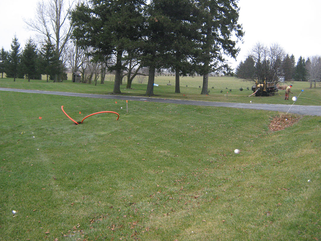
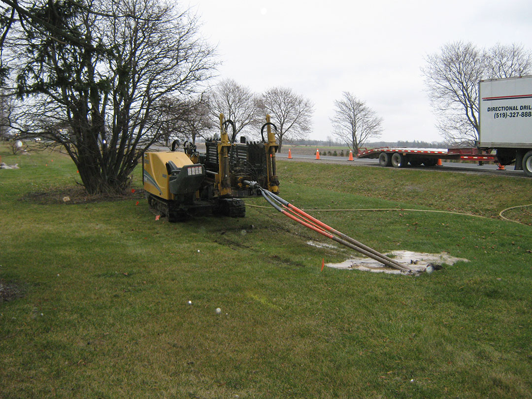
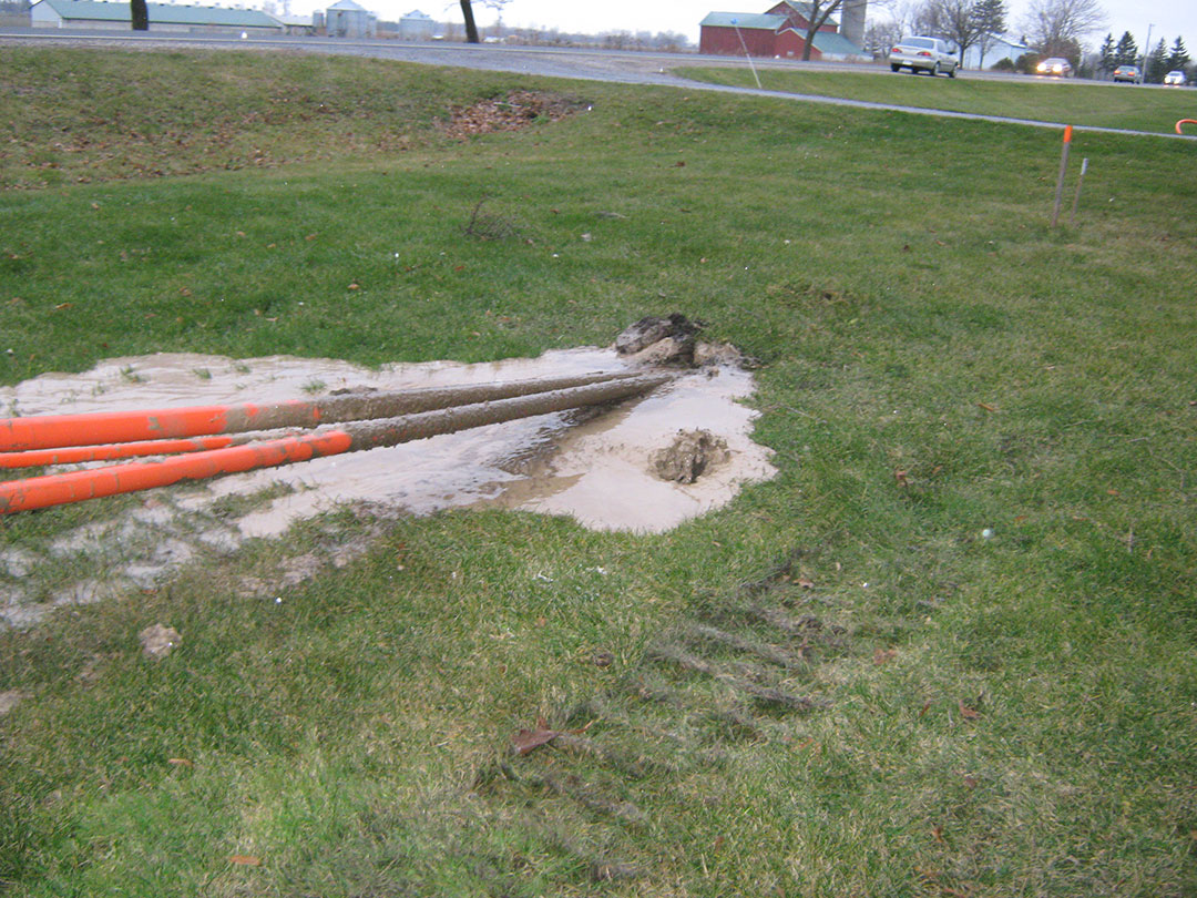
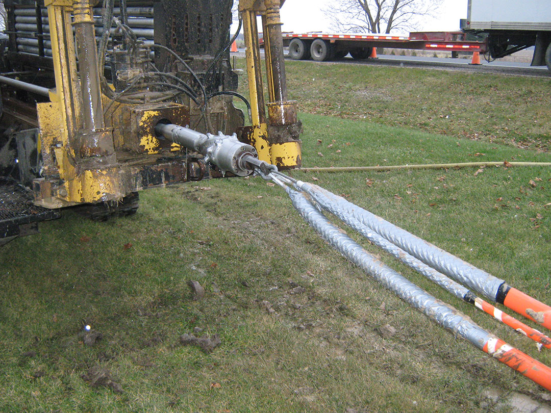
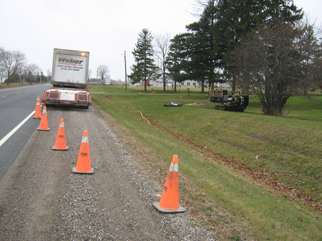
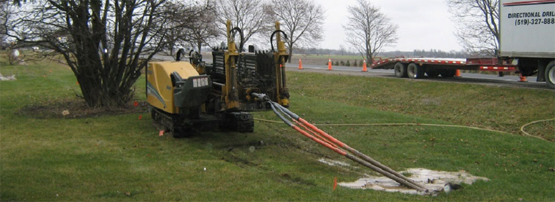
In 2011, Quadro Communications Co-operative Inc. engaged NA Engineering Associates Inc. to complete tender documents, specifications and provide GIS mapping for the installation of an extension to their fiber optic networks in various counties north of highway 7 near Granton, Ontario. GIS Mapping of Quadro Communications Co-operative Inc.’s existing Fiber optic network was an integral part of this infrastructure upgrade project.
For many years Quadro Communications Co-operative Inc. had been keeping and issuing records of their existing fiber optic network in a series of hard copy and digital drawing formats. When the capital opportunity arose to expand their fiber optic networks on some 15 county lines in and around the Granton area, the group turned to NA Engineering Associates Inc. to provide the necessary skills to complete this complex task. Existing maps, GPS field data collection and existing digital files were used to document a GIS map of the existing cable and fiber networks. The GIS map was used to illustrate the locations of the required fiber optic installations along each of the roads in this proposed network. Tenders were let in the spring of 2012 and a fully interactive GIS map of all new components and fiber installations was completed as a part of the project close out.